ABOUT REGION
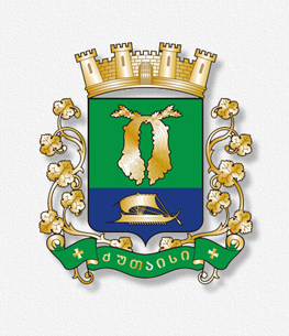
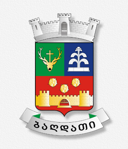
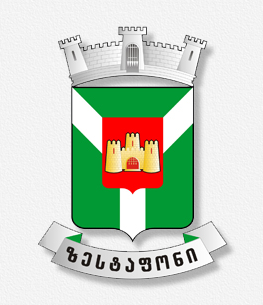
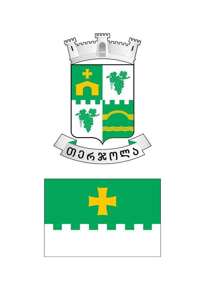
Imereti – One of the historic-geographical lands of the Western Georgia. In a broadest sense, Imereti is the term for the Western Georgia, just like: Kolkhis, Egris and Apkhazeti.
Imereti is bordered by Likhi Ringe from the east, river Tskhenistskali from the west, Caucasus mountains from the north and Persati, or Meskheti mountains from the south.
The term “Imereti” stems from the geographical location of the region, meaning – “located across”.
Imereti consists of two parts: Upper and Lower Imereti. Archeological evidence, suggests that humans started to dwell from the Lower Paleolithic Period (about 2,500,000 to 200,000 years ago).
The earliest monuments of urban life are found in Kutaisi, Vani, Vartsikhe (Rodopolis), Shorapani and etc. Due to the favorable geographical location, these cities have long had meaningful strategic, economic and political dimensions.
Nature
Imereti region is rich in flora and fauna. Forests cover 250.000 ha of its territory, which are mainly spread across the mountainous landscape. Maximum height from the sea level is 2850 m. Along with the broadleaf forests, needleleaf and mixed forests are prevalent, hosting representatives of characteristic fauna of Caucasus: Caucasian bear, wild boar, deer, fox, wolf and jackal. Wide range of birds is also represented in the area. We can still witness environmentally clean and untouched nature, particularly in the mountainous sites. These include: Sataplia, Ajameti, Mukhnari, Vani, Chiatura, Bagdati and specifically Borjomi-Kharagauli National Park, which occupy 24000 ha of territory. Tkibuli, Shaori and Rionhes water reservoir territories are very appealing to tourists and recreational visitors.
Climate
Imereti is mainly located in the humid subtropical climate zone. The influence of the sea is weak in lower mountain or middle mountain regions, though the climate is still humid there. Winter is cold and summer is dry and hot. Average temperature in January is +5 °C and 30 °C in August. Precipitation is 100-200 mm. Annual rainy days amount to about 150. Main arteries of water are river Rioni and river Kvirila.
Video
News calendar
 |
April 2025 |  |
||||
|---|---|---|---|---|---|---|
| Mon | Tue | Wed | Thu | Fri | Sat | Sun |
| 1 | 2 | 3 | 4 | 5 | 6 | |
| 7 | 8 | 9 | 10 | 11 | 12 | 13 |
| 14 | 15 | 16 | 17 | 18 | 19 | 20 |
| 21 | 22 | 23 | 24 | 25 | 26 | 27 |
| 28 | 29 | 30 | ||||
Calendar


