Municipalities
Davit Agmashenebli International Airport of Kutaisi


Map of Imereti

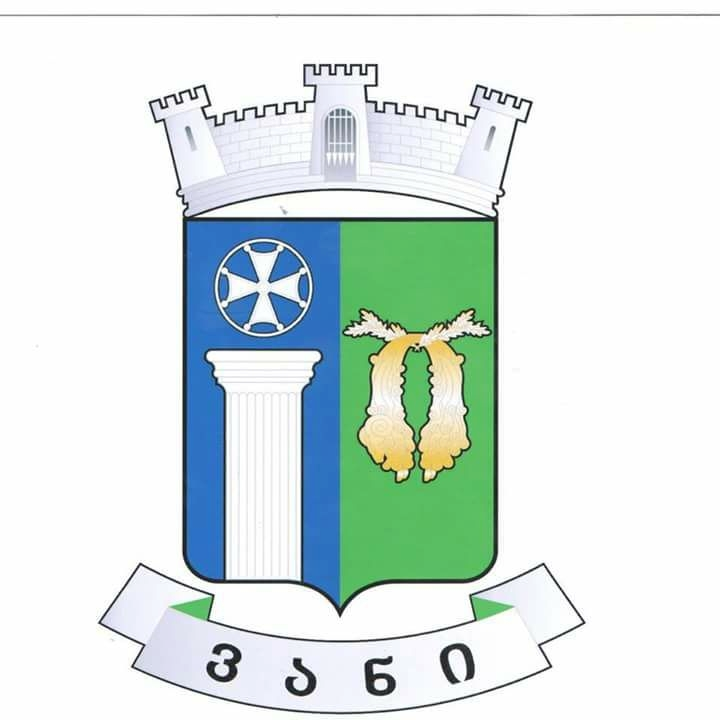
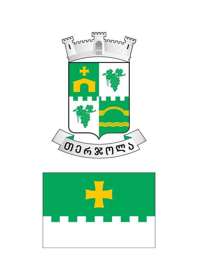
KHARAGAULI
Kharagauli
Kharagauli District (area 91.9 km2) is situated in the geographical center of Georgia, in the South-East of Imereti. The region is bordered by Khashuri and Sachkhere Districts from the East, Zestaponi and Baghdati Districts – from the West, Chiatura and Sachkhere Districts – from the North, Borjomi and Baghdati Districts – from the South. The administrative center of the District is Kharagauli. The District includes 20 territorial units. The number of the villages of Kharagauli District amounts to 78.
Kharagauli District is mountainous. Its territory includes parts of Imereti Hill, Likhi and Meskheti (the highest point – Sametskhvario Mountain – 2624m) Ranges. The highway connecting with the East Georgia runs through Surami (948 m) and Rikoti (999 m) passes.
The main river of the District is Dzirula. Many rivers flow into it, including the most significant river Chkherimela, which has its spring on the West slope of Likhi Range at a height of 1150 m. It is completely on the territory of Kharagauli District and it crosses 39 km of its territory from the spring till its confluence. One of the most complex sectionsof the main line (Tsipa – Dzirula) is laid through the gorge of the river Chkherimela.
The territory of the District is supplied with the main and transport lines. From the East it is crossed by the railway Tsipa (length 3910 m) and Khanda (740 m), which goes through the tunnel to the North-West, the main line connecting the East and the West of the country and two highways with the route Dzirula – Surami. One of them goes through Rikoti pass (length 1722 m) and Dzirula Gorge (48 km), the other – through Surami Pass and Chkherimela Gorge (55 km) to neighbouring Zestaponi District. The total length of the significant local roads is 215 km.
Geographical location of Kharagauli District indicates its strategic political, economic, social and cultural importance.
29 688 persons live in the Municipality Kharagauli. Population density is 28.2 persons per 1 km2, which means the district is weakly-populated. Main area of the settlement is within 200-600 m above sea level. The highest settlements are Pona and Sakhvlari, which are situated approximately 1000-1100 m above sea level.
Administrative center of the district is Kharagauli (3215 dwellers). It is situated on both banks of the river Chkherimela, in a rather narrow and deep gorge, 280-400 m above sea level. The mainline railroad passes through the settlement, with 10 km Kharagauli – Dzirula road it is connected to the motorway that unites the West and the East of Georgia.
Kharagauli Municipality is divided into the following territorial units: Bazaleti, Boriti, Vardzia, Vakhani, Kitskhi, Leghveni, Lashe, Moliti, Nadaburi, Saghandzile, Fartskhnali, Khidari, Tskalaforeti, Tsipa, Ghoresha, Khunevi, Khevi.
The principal treasure of the district is the forest that covers 2/3 of the total area (68.2%). At foothills and in lower mountain zone beech and hornbeam forests are widespread, sometimes chestnut, oak, ash and lime trees are mixed, the evergreen shrubs create undergrowth in the middle zone, there are many climbing plants, but mainly beech forests are widespread. Except deciduous trees there are some spruce and fir forests in the upper zone and at the watershed of the rivers Dzirula and Dumala pine forests are remained.
Tourism potential of Kharagauli
A wide perspective for development of Kharagauli District is “Borjomi-Kharagauli National Park”. The nature of the district, the significant part of which was not affected by a human and is represented by woodlands, the gorges of rivers, karstic forms, crystal rocks and mountain springs, is the essential factor for development of tourism.
From the resorts of the district Nunisi and Zvare should be noted.
“Nunisi of the three” is an elite mountain resort. It is popular due to warm (27-28 °C) sulfur-mineral water that is used for treatment of skin diseases, chronic diseases of motional organs and diseases of peripheral nervous system.
Nunisi water with its composition and medicinal properties has no analogue in the world. Near the resort Nunisi there is a village Zvare with its famous mineral water. The mineral water is used for treatment of some gastrointestinal disturbances and metabolic diseases. During decades mineral water was bottled, nowadays the process is stopped but the best healing properties of the mineral water, amazingly beautiful environment and location makes a good outlook for the tourist trade in the region.
Historical sites in Kharagauli
The territory of Kharagauli Municipality was inhabited since Stone Age. On the right bank of the river Chkherimela, in the rocks of Khanda a cave – dwelling of Upper Paleolithic human was found, “Deviskhvreli” (a hole of a devi).
In 1938 the archeological expedition found in village Bori family burial grounds of Bronze Age, 1st and 3rd centuries B.C., spread over ten hectares. Among them there were 2 rich necropolises of the 2nd and 3rd centuries. The found items are kept in Sankt-Petersburg at Hermitage Museum. It can be assumed that village Bori was one of the Residencies of Pitiakhsh.
The archeological material is also found in village Bezhatubani, Sagveshi, Leghvana and Golatubani.
In 1774Chkheri battle was conducted in Kharagauli between the King of Imereti and Ottomans troops. Vakhani Castle was of central importance where in 1804 Elaznauri Agreement was concluded according to which the Kingdom of Imereti became a part of the Russian Empire.
A lot of monuments of feudal era are scattered on the territory of the district: Ubisa Basilica, Nunisi “Mother of God”, “Saint George” of Vani and Boriti “Kozmana” churches.
An important monument of the 11th and 13th centuries is Vardzia a monastery complex, Gedsamania, Tbeti, Lashe, Nebodziri and many other churches.
In Kharagauli there are plenty of ancient religious and secular buildings, fortifications, castles and towers. It is known that unconquered castles on the territory of Kharagauli were the border guards of the Kingdom of Imereti.
One of the oldest trade and caravan ways passed through Kharagauli District. The iron cross erected by the Apostle of Christ, Andrew the First-called, in Kharagauli Mountains, protects its vicinities.
The information is used from Iza Vepkhvadze’s book “Kharagauli”.

Video
News calendar
 |
October 2024 |  |
||||
|---|---|---|---|---|---|---|
| Mon | Tue | Wed | Thu | Fri | Sat | Sun |
| 1 | 2 | 3 | 4 | 5 | 6 | |
| 7 | 8 | 9 | 10 | 11 | 12 | 13 |
| 14 | 15 | 16 | 17 | 18 | 19 | 20 |
| 21 | 22 | 23 | 24 | 25 | 26 | 27 |
| 28 | 29 | 30 | 31 | |||
Calendar